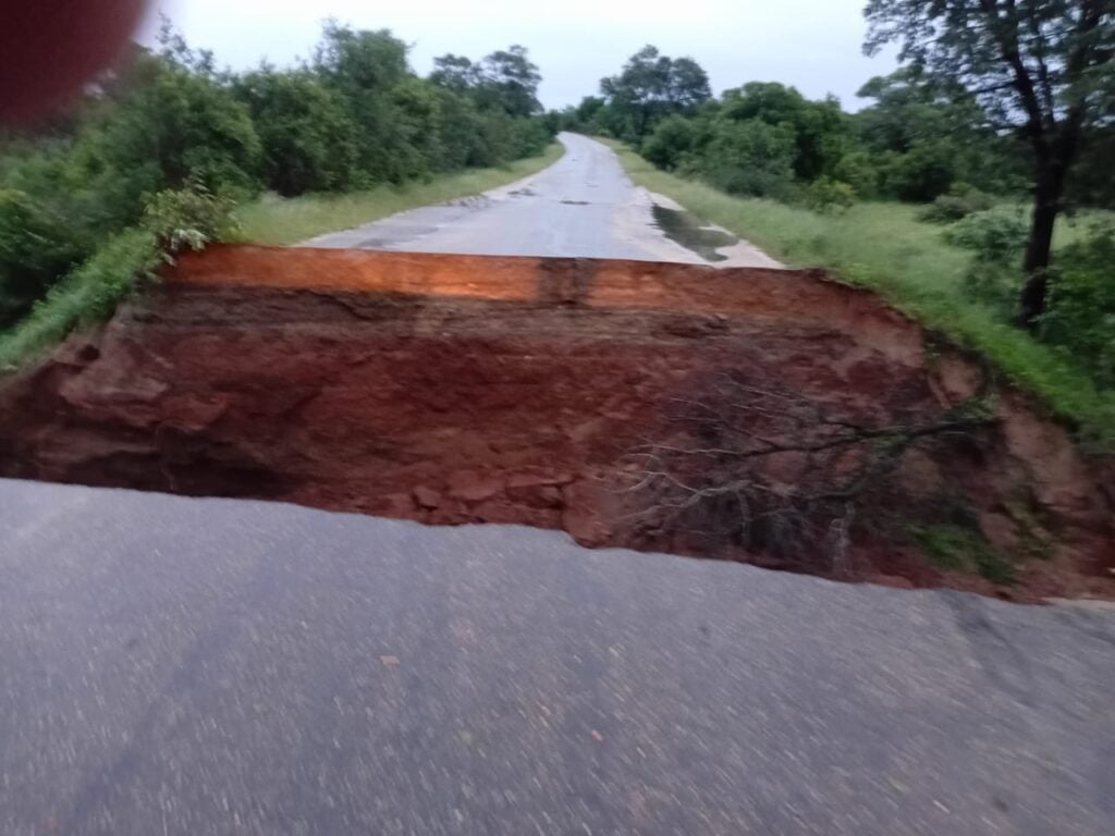
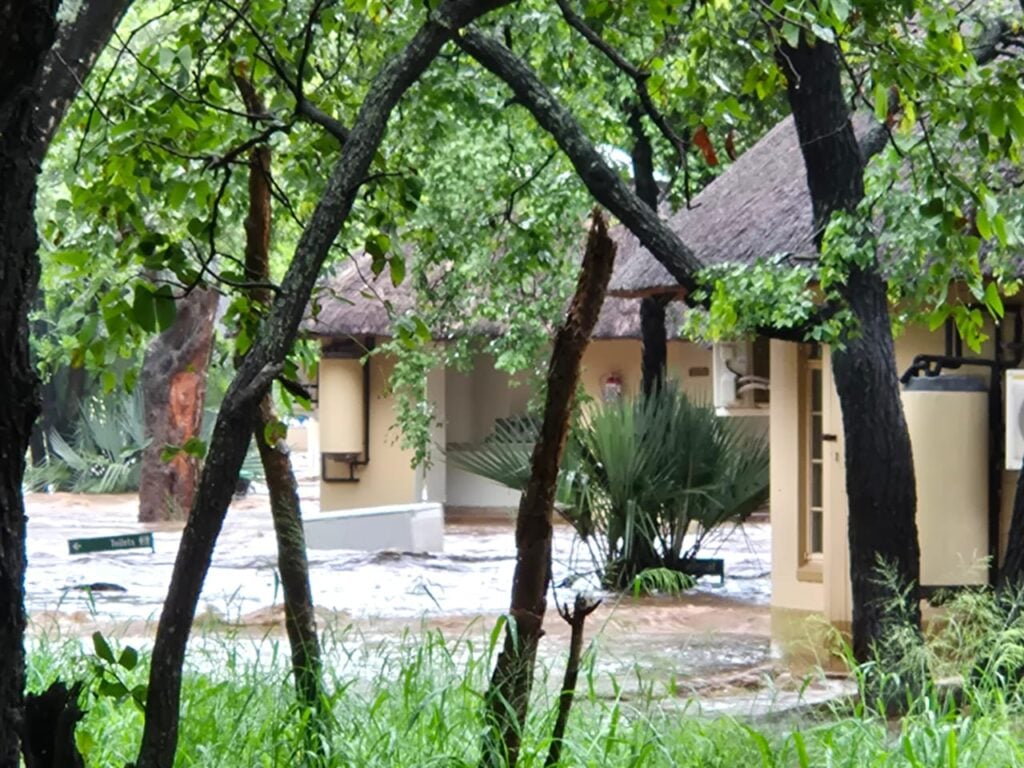
On 9 January 2026, the heavens over Kruger tore. Over ten days, a deluge of water inundated the northern and southern regions, leaving in its wake massive infrastructural damage.
A climate of extremes
People most often associate Kruger’s weather with drought cycles. Although the park falls within a low rainfall area, averaging between 500 and 700mm annually, severe floods are not unprecedented.
Even so, floodwaters have long played a powerful role in shaping its history. Since it opened to tourists in 1927, floods have had an impact on ecosystems, infrastructure, and the lives of man and beast living alongside the park’s rivers.
Rivers that define the landscape
Fed by a vast catchment outside of the park’s boundaries, six east-flowing, perennial rivers sustain life throughout the park: the Limpopo, Luvuvhu, Letaba, Olifants, Sabie, and Crocodile. Seasonal rivers, streams and gullies form a vast network that feeds into them, increasing their volume during floods.
Consequently, when heavy rain falls upstream, either due to cyclones or prolonged rains, flooding in Kruger can be as sudden as it is severe. These are not anomalies. They are part of the region’s natural rhythm.
Floods before formal conservation
Indeed, before the park’s proclamation in 1898, oral and written accounts describe rivers impassable for weeks, isolating communities and dictating movement. Floodplains offered rich grazing, attracting livestock farmers.
Early records of floods in Kruger’s history
It was only with the establishment of the park that wardens and rangers began collecting data about rainfall and flooding. At the time, the park’s limited infrastructure meant floods occasionally swept away outposts, roads, and river crossings.
In the south, the Sabie and Crocodile rivers caused repeated damage, highlighting the minimal control humans had over the landscape.
Major flood events of the 20th century
In the 1950s, park management began a significant expansion of Kruger’s tourism infrastructure. This saw the construction of numerous roads and rest camps, often in close proximity to the rivers.
Subsequently, floods in the 1970s and 1980s damaged many of these structures.
As a result, park management began rethinking how close it should build infrastructure to active river channels.
Turning point: 2000
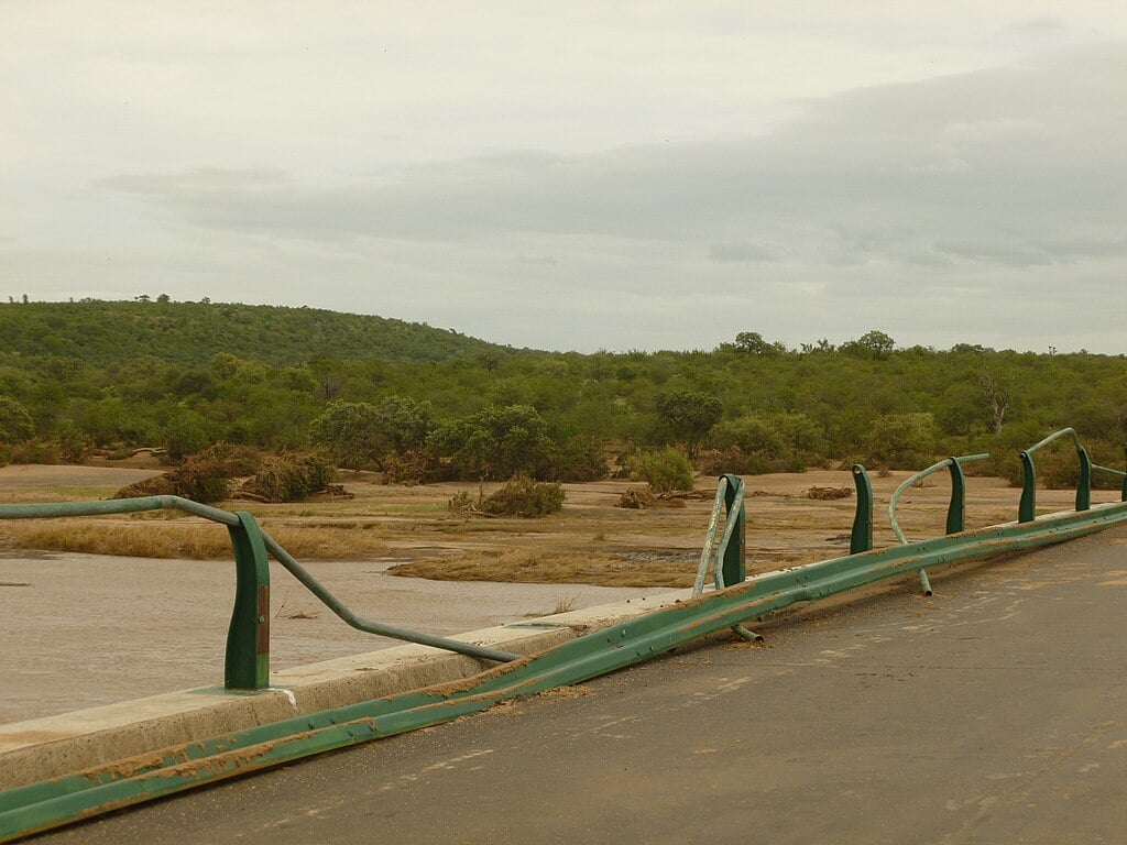
Then, in February 2000, Kruger was struck by one of the most dramatic events in its history. As Cyclone Eline dumped millions of litres across Kruger, Mpumalanga, and neighbouring Mozambique, the rivers burst with explosive force.
Consequently, numerous roads, bridges, and picnic sites were washed away, along with large numbers of wildlife.
Despite the devastation, the floods rejuvenated the landscape, scouring invasive plants and restoring natural channels. Accordingly, the event marked a turning point in the park’s river management philosophy.
Recent floods in a changing climate
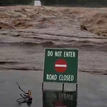
Subsequently, Kruger has experienced significant floods in 2012, 2021, 2023, and this year. Each event brought severe economic impacts, highlighting one of the many effects of climate change on our lives.
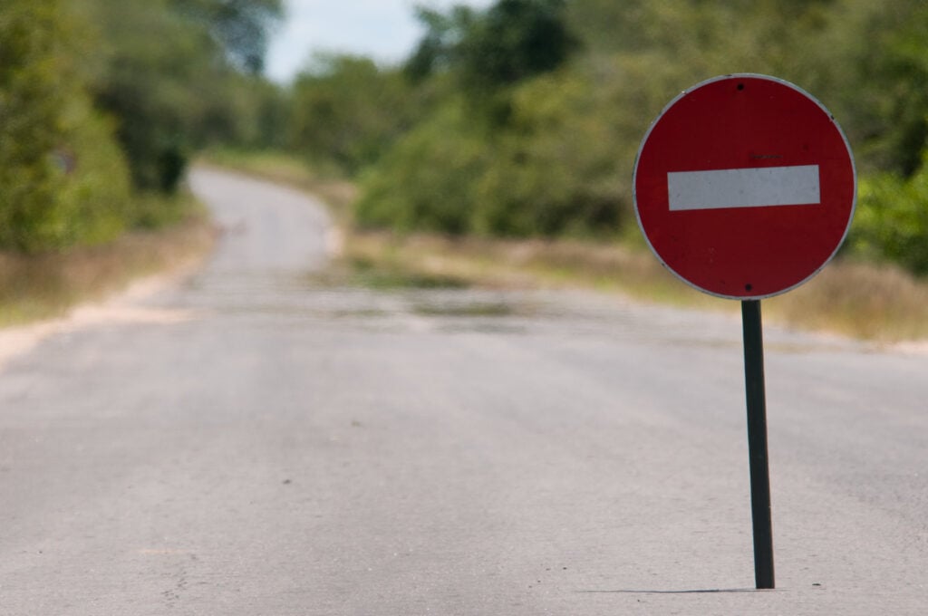
As floods destroyed infrastructure, temporary park closures, cancellations, and reduced accommodation capacity caused tourism revenue to plummet.
The floods of 2023 resulted in an estimated R110m repair bill. This has been dwarfed by the 2026 floods estimated repair cost exceeding R700m.
These costs do not take into account the losses to tourism revenue and regional economic disruptions.
Thankfully, there has been minimal loss of life within the park due to flooding. This is due to modern flood monitoring practices and early warning systems now in place.
Living with floods
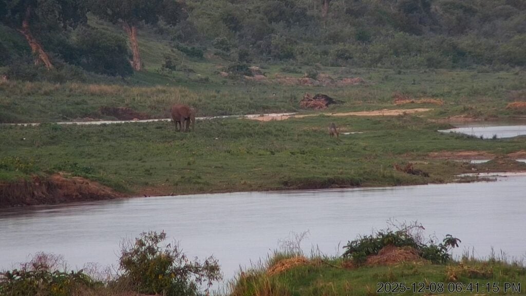
As destructive as they can be, floods are integral to Kruger’s functioning ecosystem. They replenish groundwater, sustain wetlands, and support biodiversity.
If history has taught us one thing that our attempts to control rivers invariably do more harm than good. Flooding should not be viewed as an interruption in Kruger’s history, but as part of its ongoing story.